Abbot Point Coal Terminal
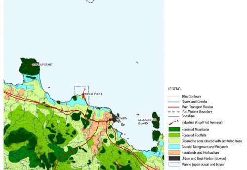
A cumulative LVIA study identified the landscape and scenic values of the Abbot Point area (north QLD) and the broader context of coastal landscape settings along the offshore shipping channel, with a particular focus on their contribution to the aesthetic values of the GBRWHA. A tiered approach compared the affected areas with other parts of the GBRWHA for representation of core World Heritage and associated or supplementary attributes, as well as landscape character types.
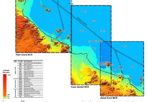
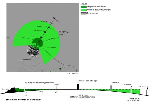
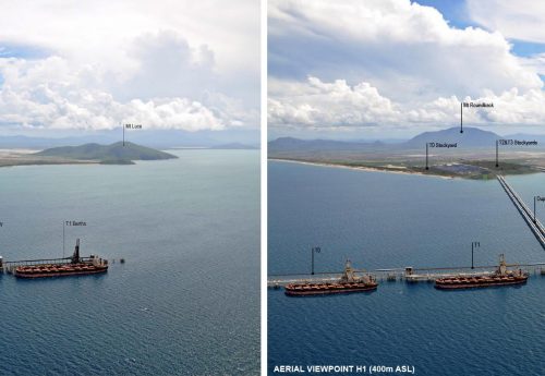
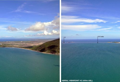
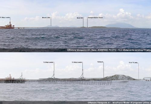
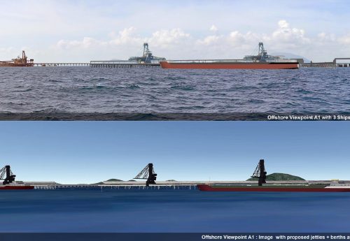
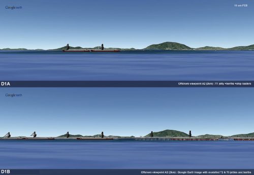
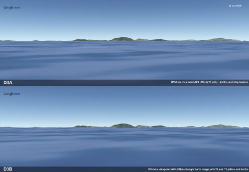
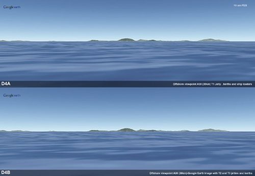
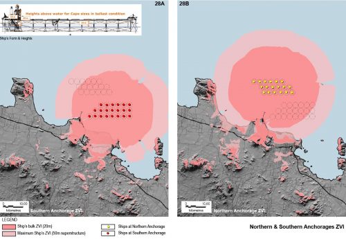
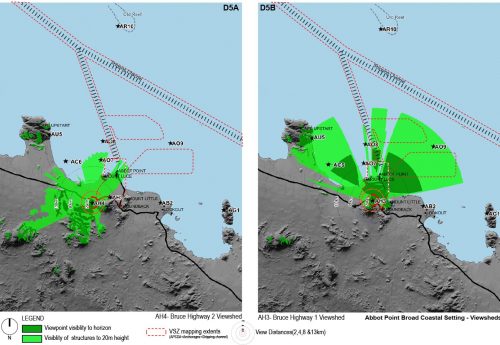
2013 (Ata Tara @ Cardno Chenoweth)Visual impact assessment involved mapping of significant viewsheds and a ship visibility band, based on viewer groups and viewing distance (taking into account earth curvature calculations), Zones of Visual Influence (ZVI) based on heights of onshore and offshore infrastructure and ships, and Desired Visual Outcomes. The latter integrated terrestrial landscape values and World Heritage attributes and allowed significant visual impacts to be identified (including lighting) and appropriate mitigation measures to be recommended. The likely visibility and appearance of the proposed coal terminal developments, anchorage areas and shipping were modelled and presented as photomontages and other visualisations.

