Spatial Analysis & Mapping
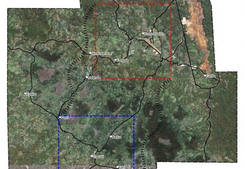
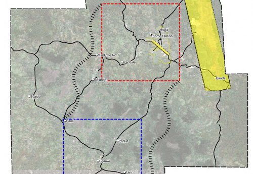
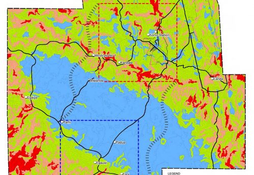
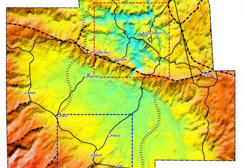
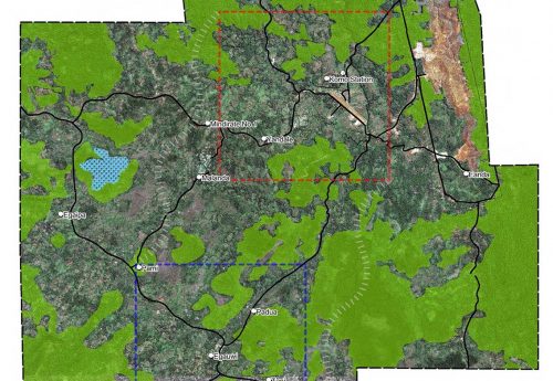
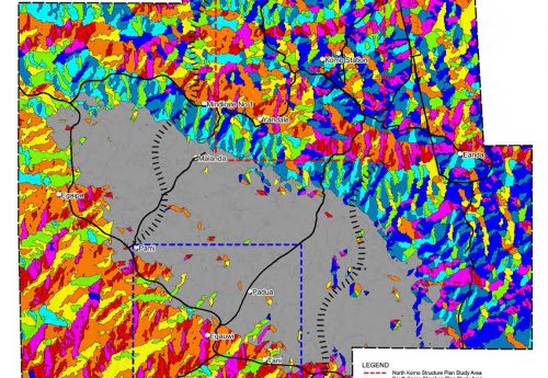
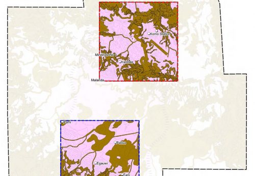
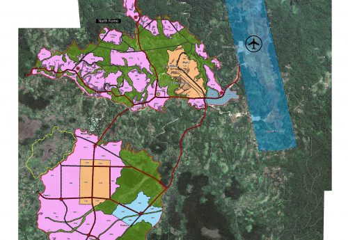
Desktop spatial analysis and mappings were utilised in the design to develop structure plans for two townships (Komo Townships) in PNG. Multiple layers including vegetation, landform, slopes, aspects, waterway and etc were mapped based on available data. By consideration of all of these factors, areas of go and no-go were defined and used for the future urban settlements with different densities.
2013 (Ata Tara @ Cardno)
