Buttonderry Landfill Desktop Analysis
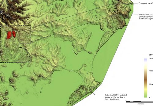
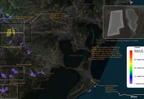
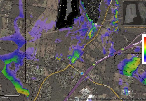
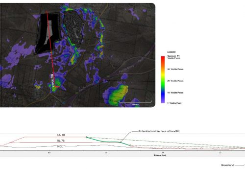
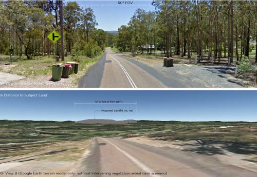
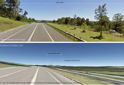
GIS provides a powerful tool to understand and map visibility of a structure or development. In this project, a broad surface model was created up to a 25km radius surrounding the proposed landfills to model their ZVI. As the result of this desktop analysis, several areas identified in regional scale have potential views of the landfills. Google Streetview was used in corporation with 3D modellings to investigate the visibility considering the intervening vegetation and landform. Coloured ZVI maps show the visibility levels to the landfills which assisted the local government to identify affected areas in the landscape.
2016 (Ata Tara @ MODE Design for Cardno)
