Bahrs Scrub Landscape & Scenic Amenity Assessment
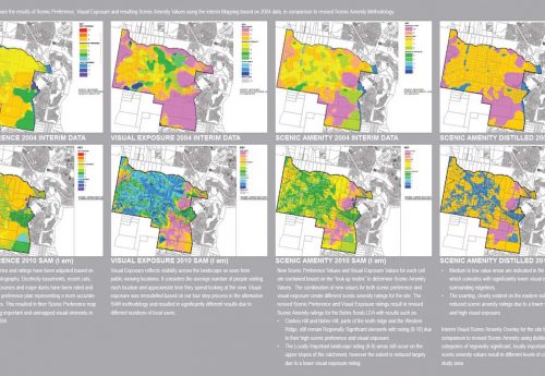
A Landscape and Visual Amenity Assessment of land were prepared as part of the Bahrs Scrub Local Area Development Plan. The aim of this study was to provide a detailed analysis of the landscape and visual amenity values of the area and to outline relevant management requirements that may apply to the area’s future development. In absence of scenic amenity mapping methodology developed in TNTmips, an alternative methodology was developed to repeat a similar mapping methodology in MapInfo to map scenic amenity values based on Implementation Guideline No. 8.
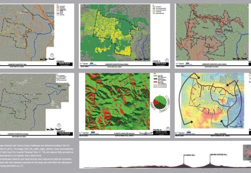
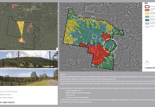
To capture landscape character, the concepts of City Image, ‘sense of place’ and distinction of landscape was defined according to the five elements, paths, edges, districts, nodes, and landmarks established. The site analysis firstly provided an overview of site characteristics on a regional, then a district level. It then focuses on the study site using the five elements defined by Lynch to analyse the landscape character and sense of place.
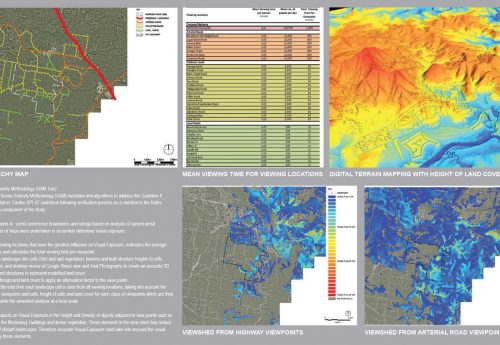
The development of alternative methodology was involved running Vertical Mapper over the study area to determine visibility ratings for parts of the site. The ability to use existing data sets such as DTM and apply other graphic packages such as Autocad and Sketch up, has enabled an accurate 3D model to be created to accurately reflect changes in local terrain. This has proved vital in determining accurate visual exposure mapping using viewshed functionality in GIS. The combination of programs reflects the “necessity being the mother of invention” and using the available tools to complete the project.
The combination of landscape character and visual amenity were expressed in ultimate constraints layers to be evaluated with other planning constraints for the study area and inform the subsequent phase of planning being undertaken by Logan City Council. The mapped data become a legible and simple tool to understand the science behind the complex concept of Scenic Amenity.
2010 (Ata Tara @ Cardno SPLAT)


