Gold Coast Quarry
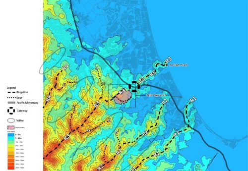
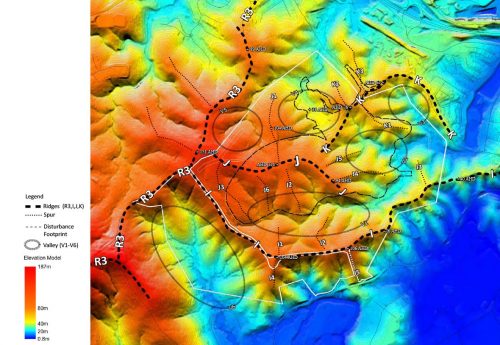
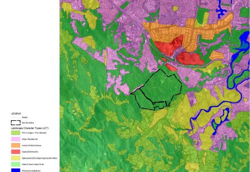
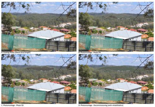
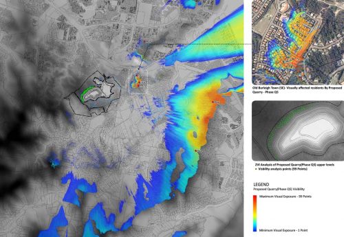
A comprehensive LVIA was prepared for Boral proposal to develop a hard rock quarry on a State-designated Key Resource Area (KRA) at Gold Coast. The subject site comprised a complex arrangement of ridges, spurs and side valleys surrounded by residential and rural properties and forested ridge-lines. The high sensitivity of visual receptors and landscape required a highly objective and rigorous assessment to assist the decision-making process.
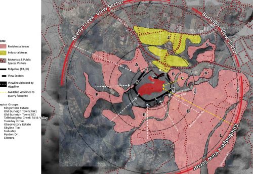
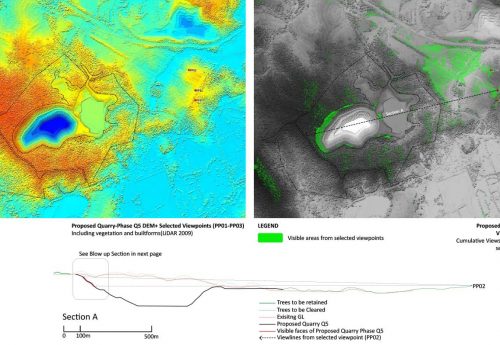
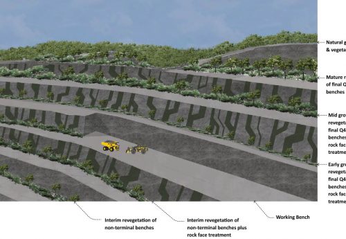
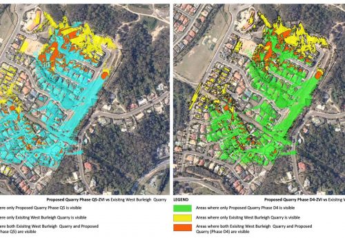
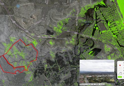
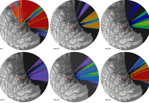
A highly accurate visualisation and GIS modellings became possible by the accusation of high definition LiDAR data and creation of DSM (Digital Surface Model). These helped to identify affected receptors by Zone of Visual Influence modelling (ZVI) and understand the extents of visibility from sensitive receptors by viewshed analysis. The findings of assessment resulted in a progressive rehabilitation plan to mitigate the visual impacts of exposed quarry benches. Extents of modellings were expanded (20km radius) during the appeal process (JER) as required by visual amenity expert witnesses.
2012 (Ata Tara @ Cardno)

