10
JuneMapping Degree of Visible Change (DVC)
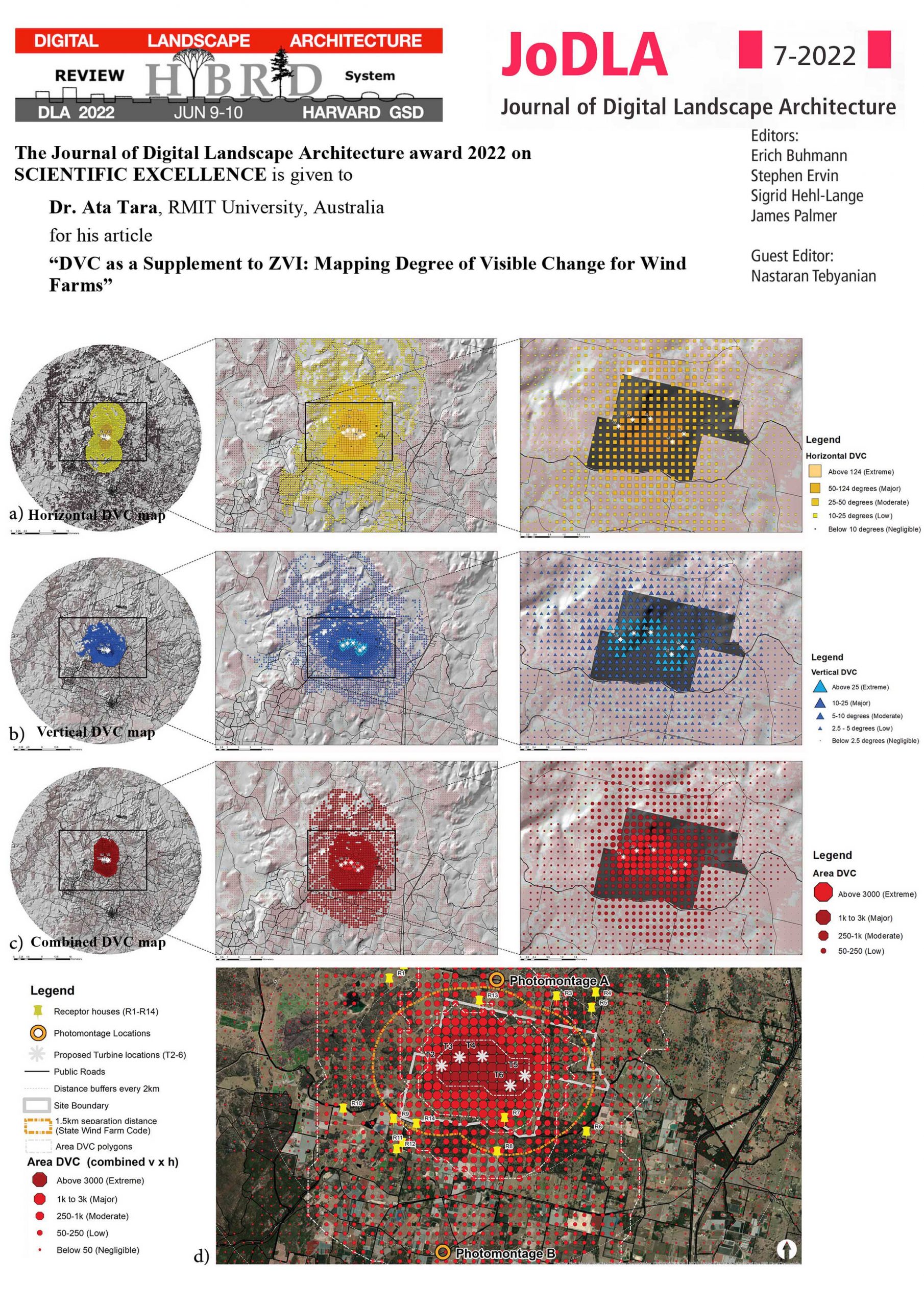
Wind farms can profoundly change the appearance of landscapes and how they are experienced. The proliferation of wind farm applications and the visual impacts of larger array footprints and taller turbines raise additional landscape concerns for users and observers. These trends require new assessment methods to evaluate such impacts and supplement visual assessments, stakeholder engagements and decision making. The new concept of Degree of Visible Change (DVC) is formulated to overcome some of the limitations associated with established techniques in Visual Impact Assessments (VIA), in particular Zone of Visual Influence (ZVI) mapping. Developed and tested for a proposed wind farm in Queensland, DVC calculates and maps horizontal (h) and vertical (v) view extents that are occupied by proposed wind turbines, combines these into a new parameter representing visual prominence and defines significance levels based on limits of human Field of View (FOV). DVC also allows the effect of distance attenuation on visibility to be represented, helping to identify affected receptors and their potential levels of visual impacts. This approach provides an additional layer of analysis to map the potential visual intrusion of wind farms and highlights the effect of existing land cover and potential mitigative planting to ameliorate visual impacts.
Link to the full published paper
7-minutes conference presentation:
