17
June17th Venice Architecture Biennale
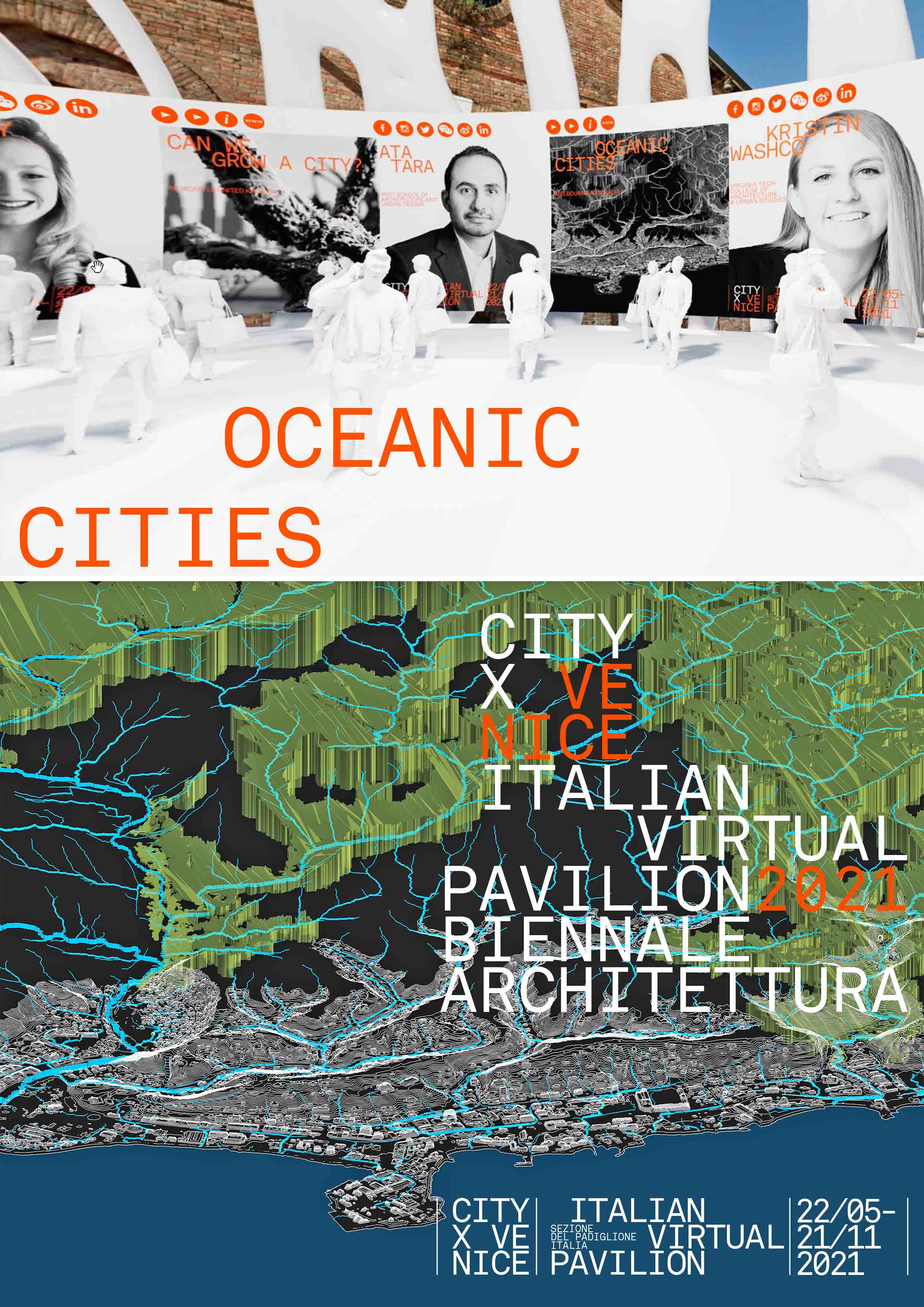
Ata Tara & Yazid Ninsalam as part of RMIT Architecture and Urban Design presented at Venice Biennale 2021, VENICE Cityx Pavilion.
Short video highlights the project:
OCEAN CITIES
As part of a multidisciplinary team, landscape architects from RMIT University are working on a large-scale project funded by the UNFCCC Adaptation Fund and administered by UN-Habitat. Through a range of co-designed initiatives, the project team aims to bring into focus the challenges of climate change on Honiara, the fast-growing capital city of the Solomon Islands. They are currently providing scientific support and capacity building for actions to be implemented. The designs are driven by a participatory approach which involves local people in the prioritisation of community needs and the co-design of climate adaptation actions.
Ata Tara is a Lecturer in the RMIT Landscape Architecture Program. He is the director of Trace Visual and is a registered landscape architect. He has worked for a number of international design firms including Cardno, MODE Design, and Tract Consultants. Ata has considerable experience in spatial analysis, GIS and master planning considering environmental constraints and landscape values. His technical knowledge in visual planning, advanced visualisation and modelling capabilities GIS are highly in demand to assist and inform decision-making processes.
Yazid Ninsalam is a Lecturer in the RMIT Landscape Architecture Program. His research investigates the impact of urban development and resulting environmental implications derived from rapidly shifting landscape transformations. To date, he has collaborated with various interdisciplinary academics and practitioners to extend the use of remote sensing technologies in design. These range from the application of archival documentation of landscape transformations, to the development of adaptation strategies. He graduated with a Doctor of Philosophy in Architecture from the National University of Singapore and is an alumnus of the Future Cities Laboratory Landscape Ecology Module, a research program of the Singapore-ETH Centre.
