22
SeptemberVisual Impact of Urban Form Study
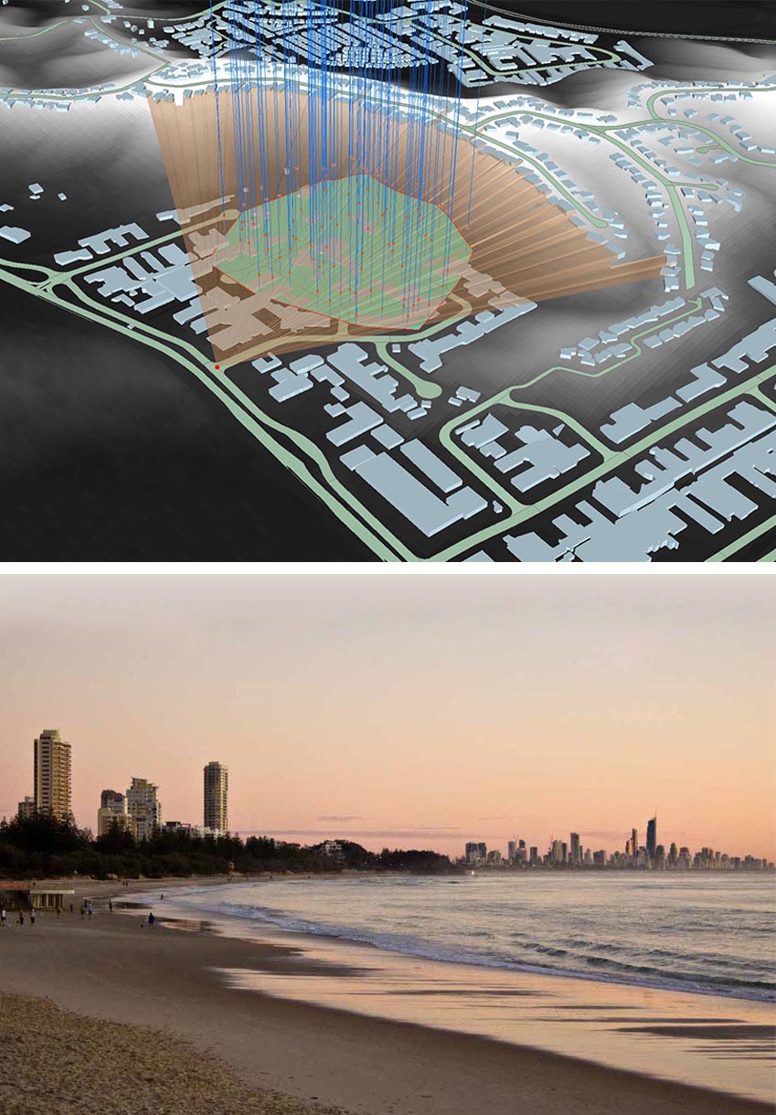
TRACE in collaboration with CARDNO are commissioned by Office of the City Architect, City of Gold Coast to undertake the Visual Impact of Built Form Study to inform the City Plan.
The objectives of this study are to:
- Review the City Plan Building height overlay map within the strategic city view corridors to identify the impacts of development on ‘broad scale city-wide’ view corridors;
- Review of the building height overlay map within two focused study areas at the local level and identify the impacts of development on view corridors to landscape features and character elements of significance;
- Identify maximum achievable building heights within sensitive areas and provide a defendable rationale;
- Prepare recommendations to inform any necessary City Plan building height changes.
Implementation of this study requires the inclusion of several study findings completed previously including Gold Coast View Corridor Study, Gold Coast Scenic Amenity Study, Gold Coast Character Study (2014), Building Height Strategy (2017) and Draft Landscape Value Study (2018) which are critical in guiding the development of the strategy.
This study requires sophisticated GIS mapping and modeling techniques to guide building height in consideration of surrounding sensitive areas, view corridors, and valued landscape features and understand the tasks required. Some of these geospatial questions can only be answered in 3D-GIS using city models and high definition LiDAR data. TRACE previous research on skylines (through Ph.D. studies) is applicable in this study to quantify and manage view intrusions of future developments into timeless view corridors that shape the identity and sense of place of Gold Coast.

Gerard McCormick
October 5, 2018 at 8:46 amVery happy to be working with you again Ata!