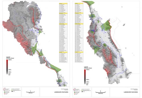
Cairns Region Scenic Amenity Study
Cairns Regional Council commissioned a scenic amenity study for the Region, in preparation for the new Cairns Region Planning Scheme ‘One region, many communities’. A scenic landscape assessment was required to assess scenic values, and seek community participation to help rank scenic preferences within the region.The scenic values of landscape elements require assessment and mapping, with input from the regional community regarding your preferences for various combinations of landscape features, elements, and levels of development.
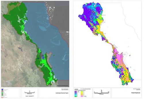
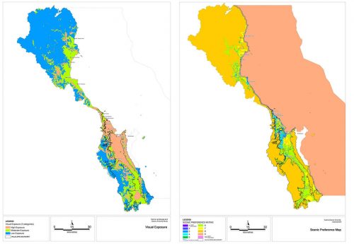
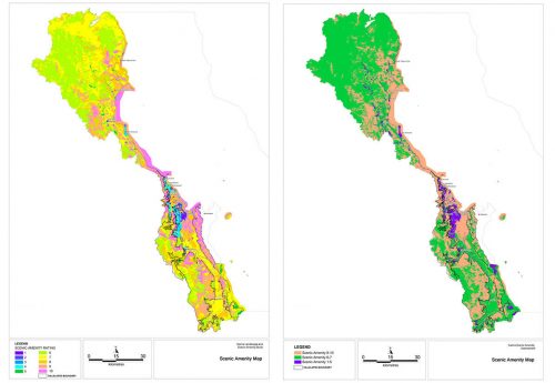
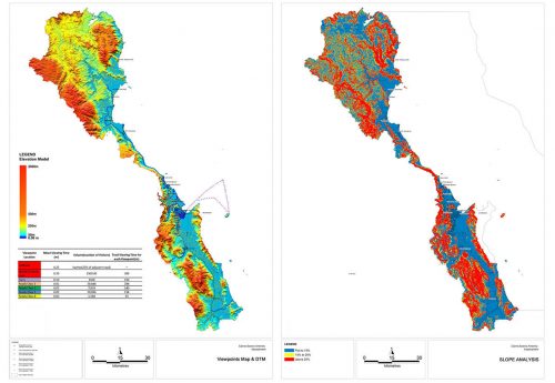
The assessment of scenic amenity is undertaken using the Scenic Amenity Method in the South East Queensland Regional Plan “Implementation Guideline No 8’, Identifying and protecting scenic amenity values”, which is being used widely in Queensland. This method maps “Scenic Amenity” as a GIS combination of Visual Exposure (ie. visibility from roads and public places, based on topography) and Scenic Preference (community-based ratings of public preferences, assessed in survey sessions which rank selected photographs).
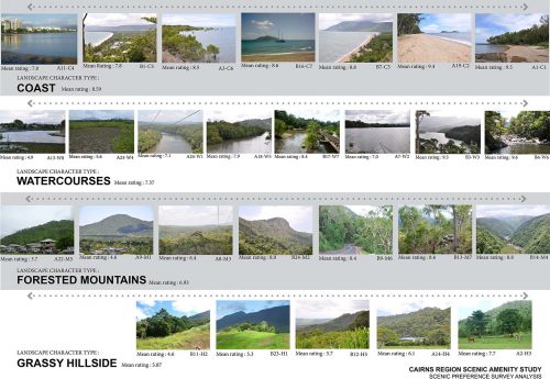
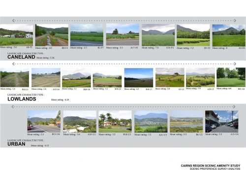
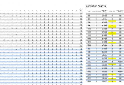
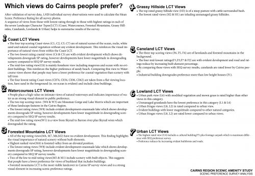
A public preference survey was conducted including more than 200 participants, selected from those who registered their interest. At each session, participants reviewed a series of photographs of the region’s landscape and scenery combinations (with varying levels of development), and rated each photograph on a scale of 1 to 10, based on individual preference. Scores will then be related to the proportion of each element represented in each photograph, and overall ratings aggregated in a way which can be applied to a regional scenic preference map.
As the outcome of this study, a regional geographical information system of scenic amenity and other landscape data was produced. Using a consistent methodology, significant landscape values were defined and mapped as an input to Council’s new planning scheme, and as a basis for policies to protect and manage these values.
2013 (Ata Tara @ Cardno Chenoweth)
